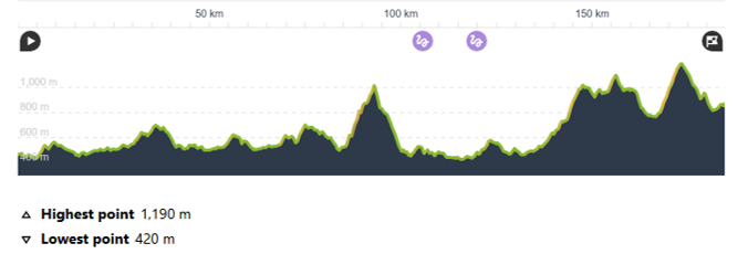
LENGTH AND ELEVATION: 184 km / 3500 m
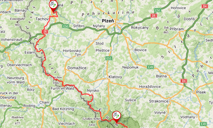
MAP
PROFILE
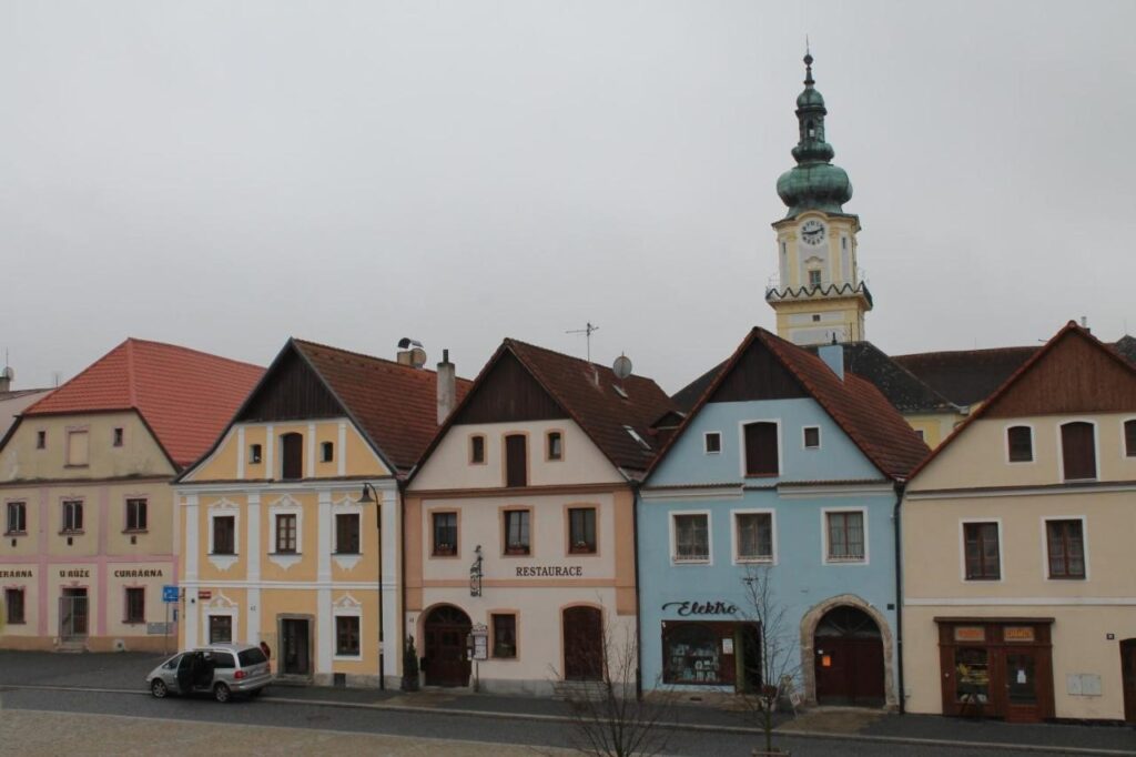
RACZ26 Route will start from the picturesque square of small town Planá.
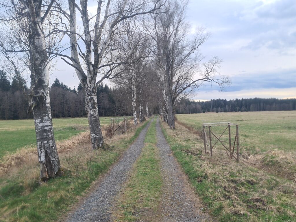
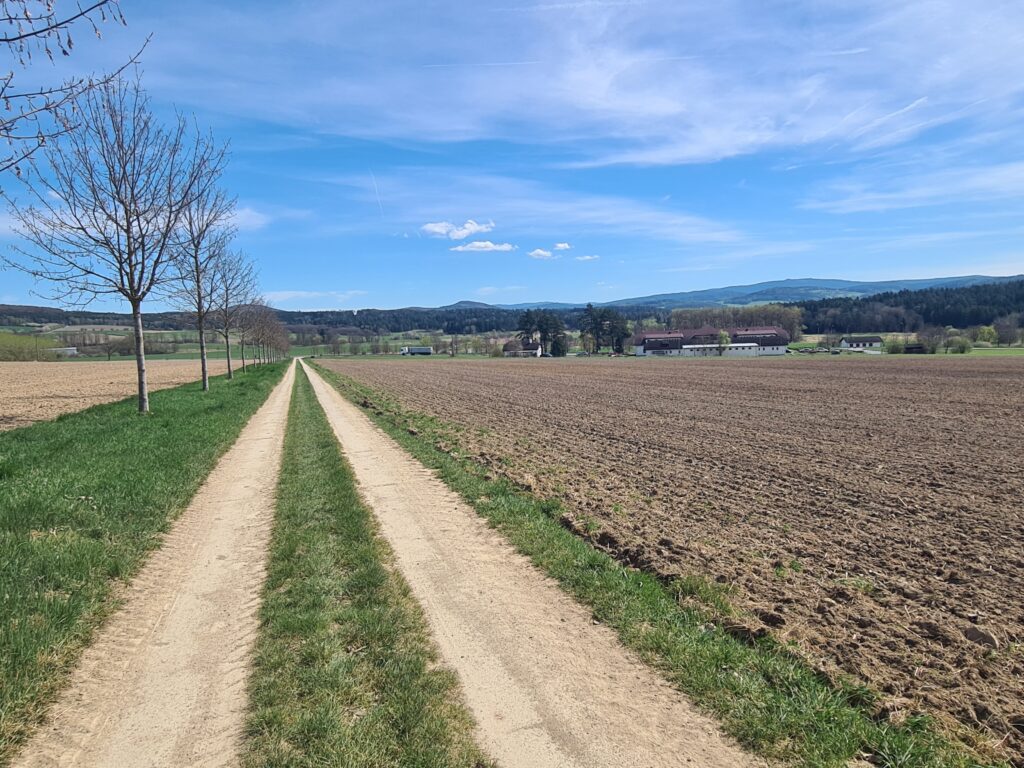
After neutral first two kilometres comes breathtaking initial section – you will get to flow mode enjoying a ride in a big pack, through deep and lush canyons of Tichá and Mže River.
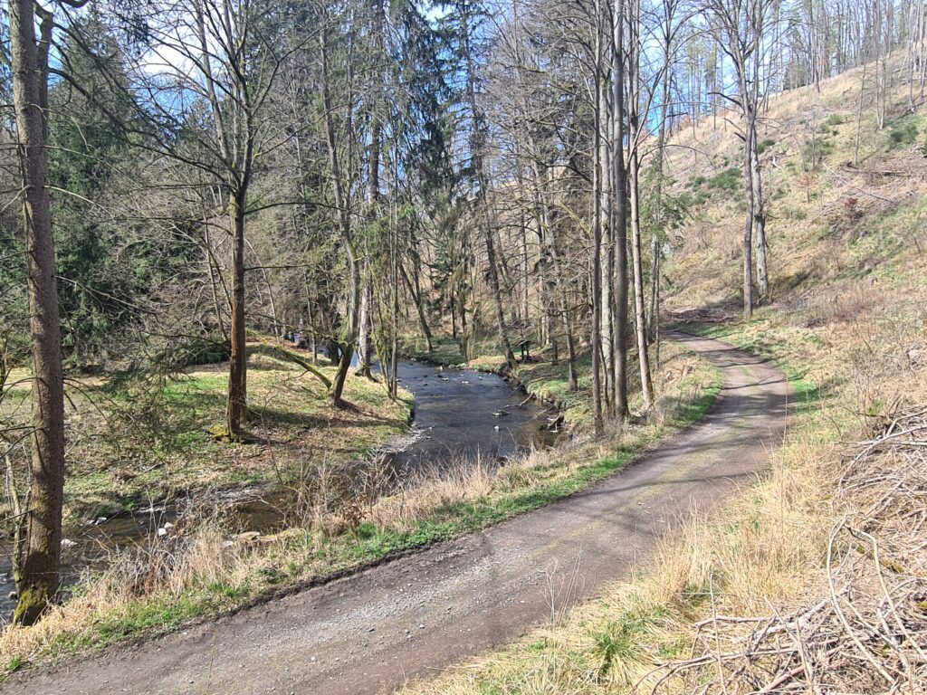
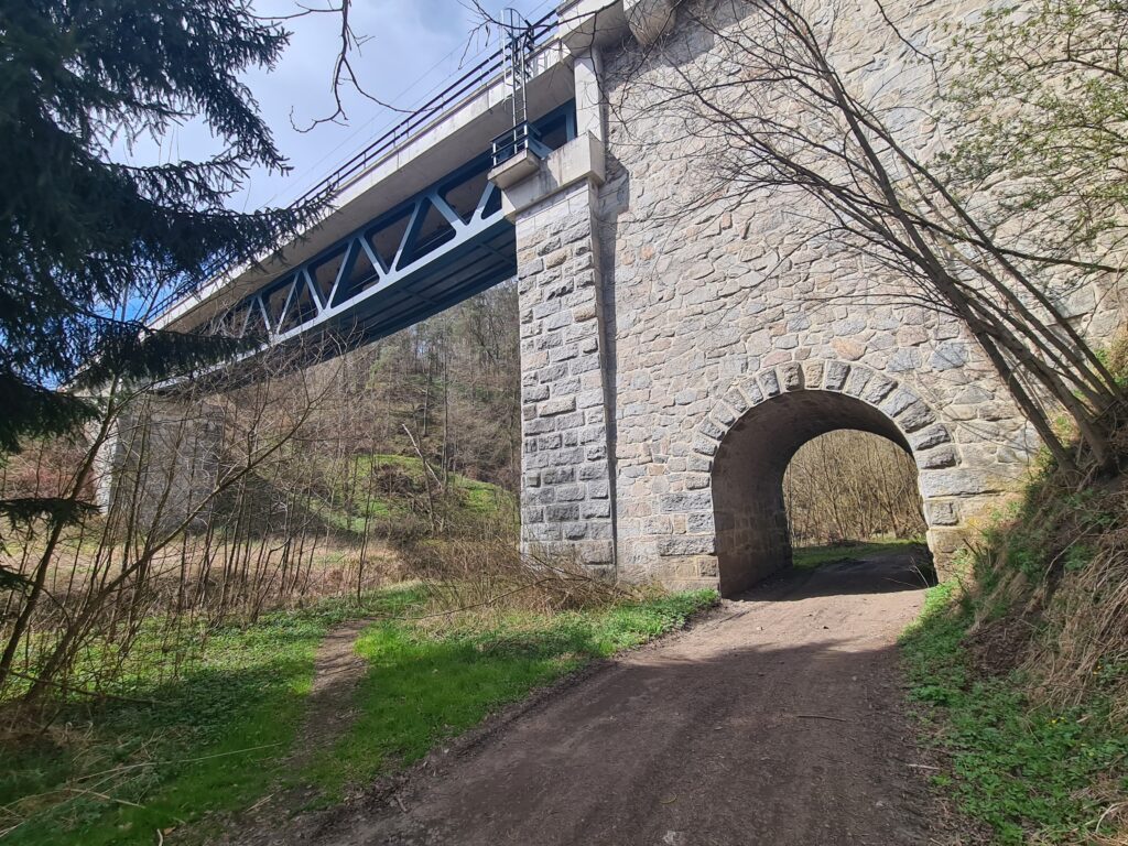
Expect of beautiful nature, you will be amazed by a serie of railway viaducts, high above a river.
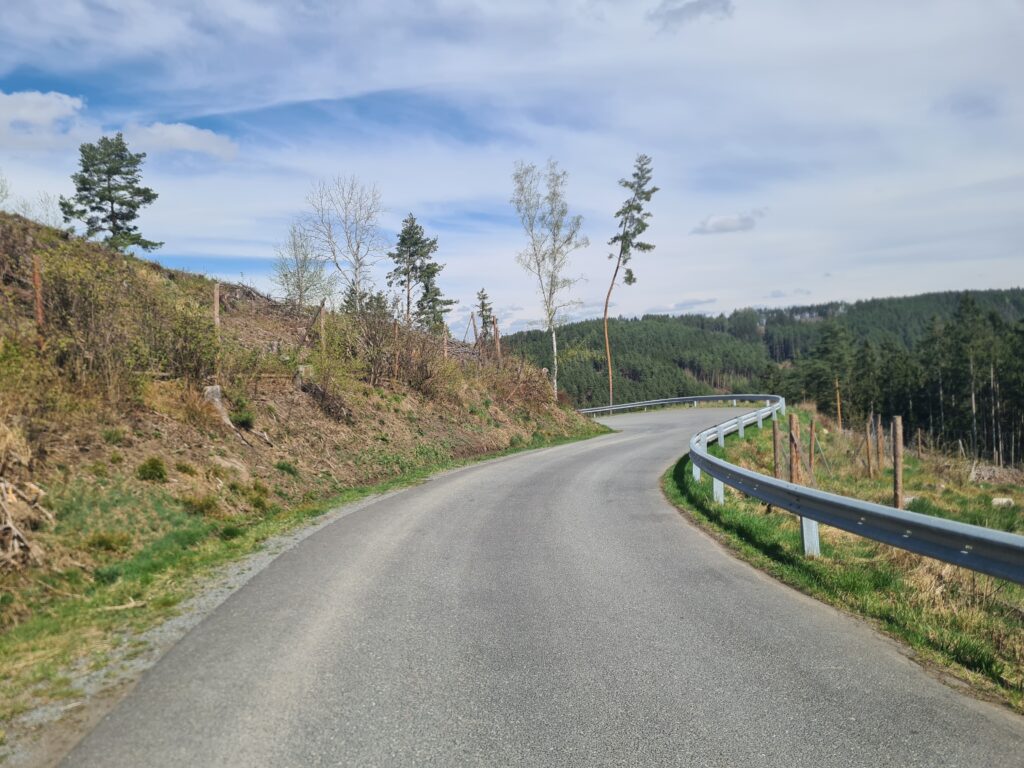
First harder hill with 200m+ up to Pavlovice follows, here you will have a beautiful view of surrounding plateaus with wind turbines.
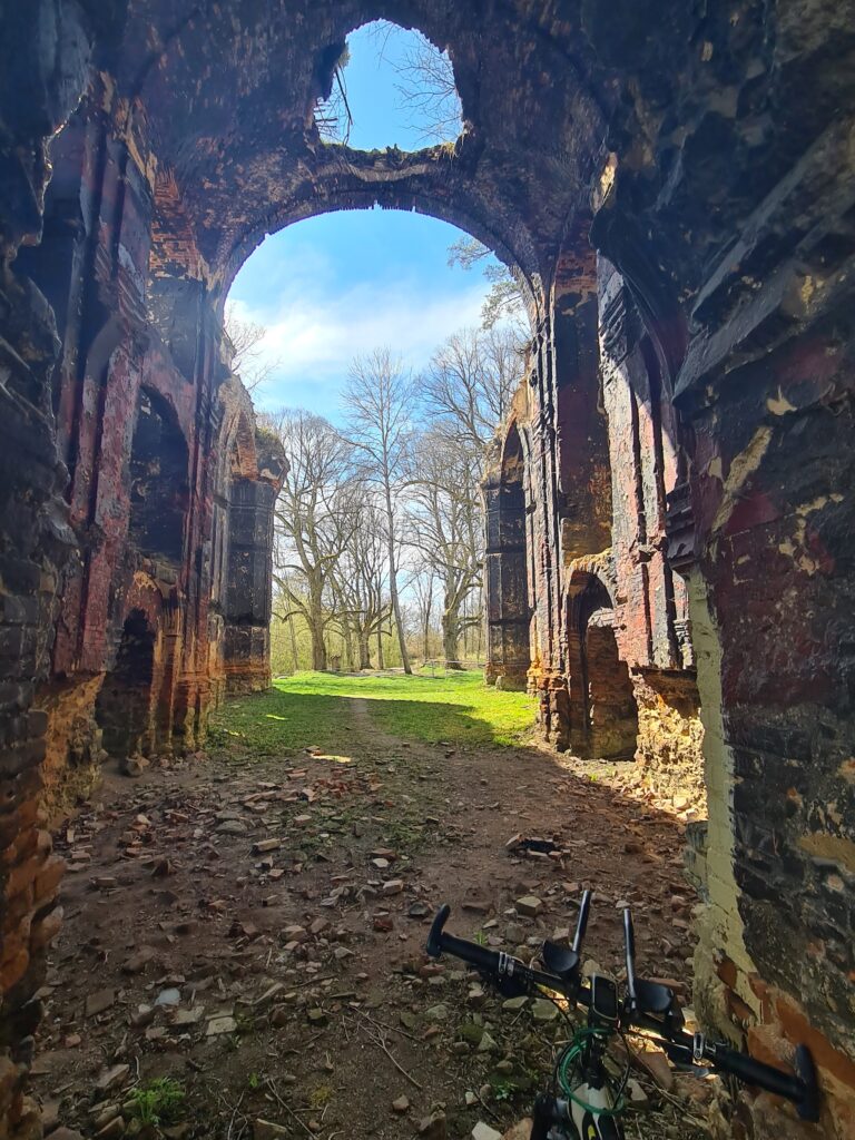
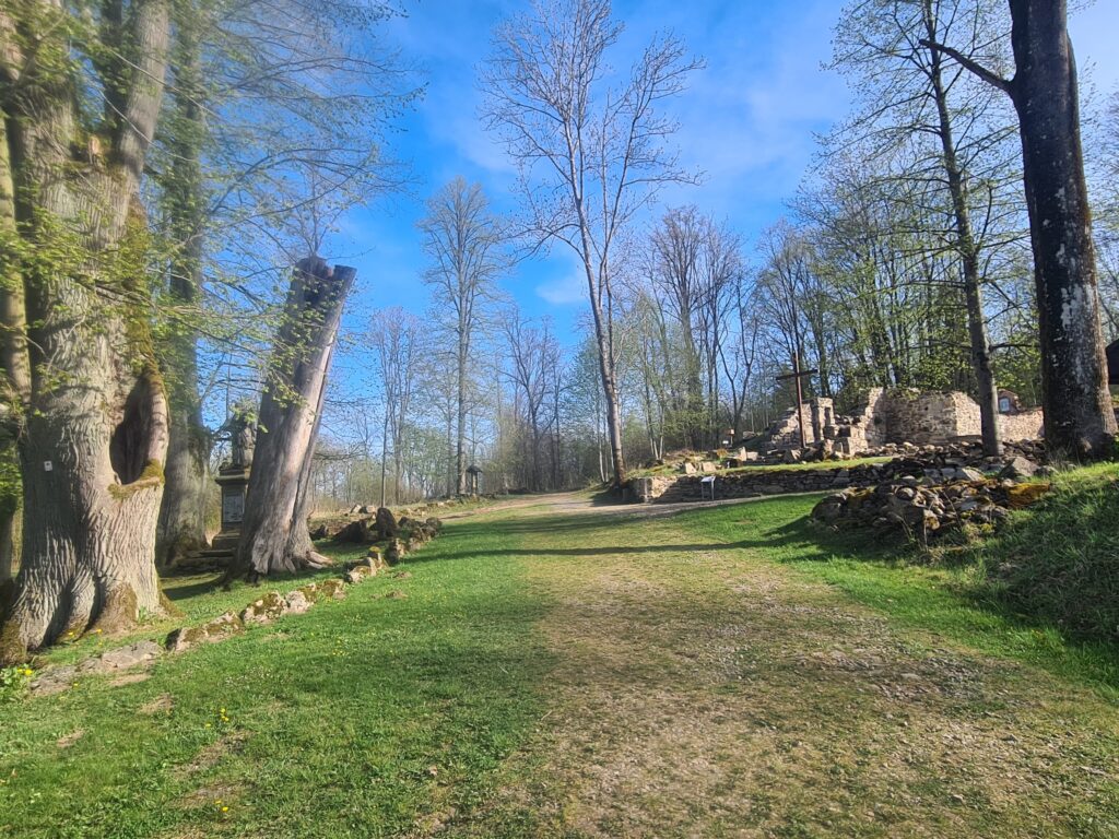
The first off-road section leads to the 1st attraction of RACZ26 route…
… which will be the passage through the ruins of pilgrimage church of St. John the Baptist near village of Kumpolec.
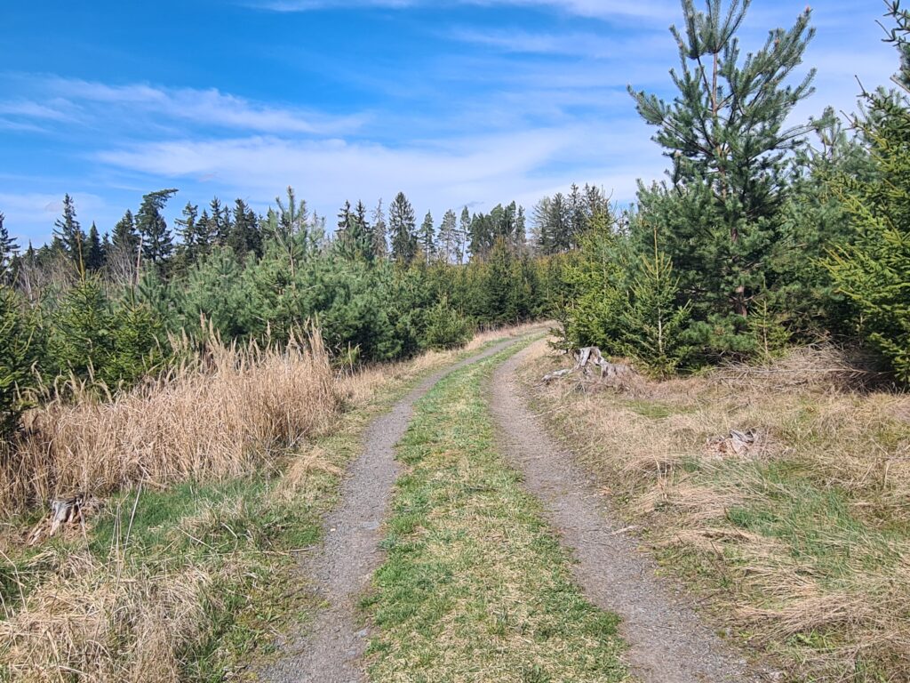
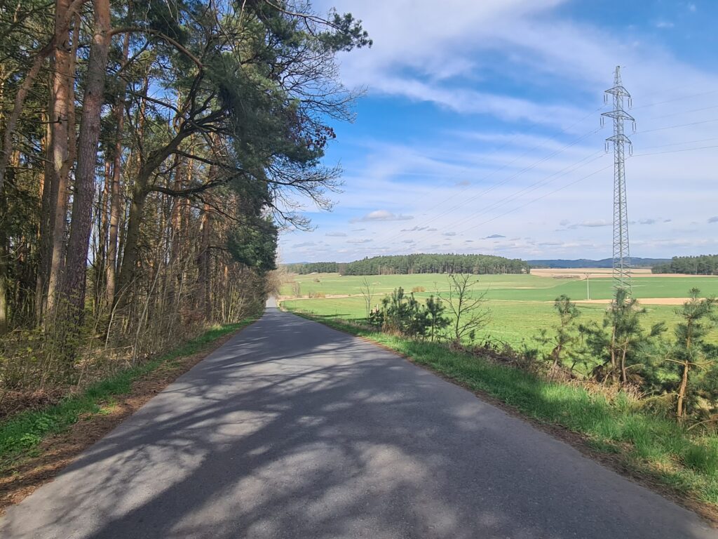
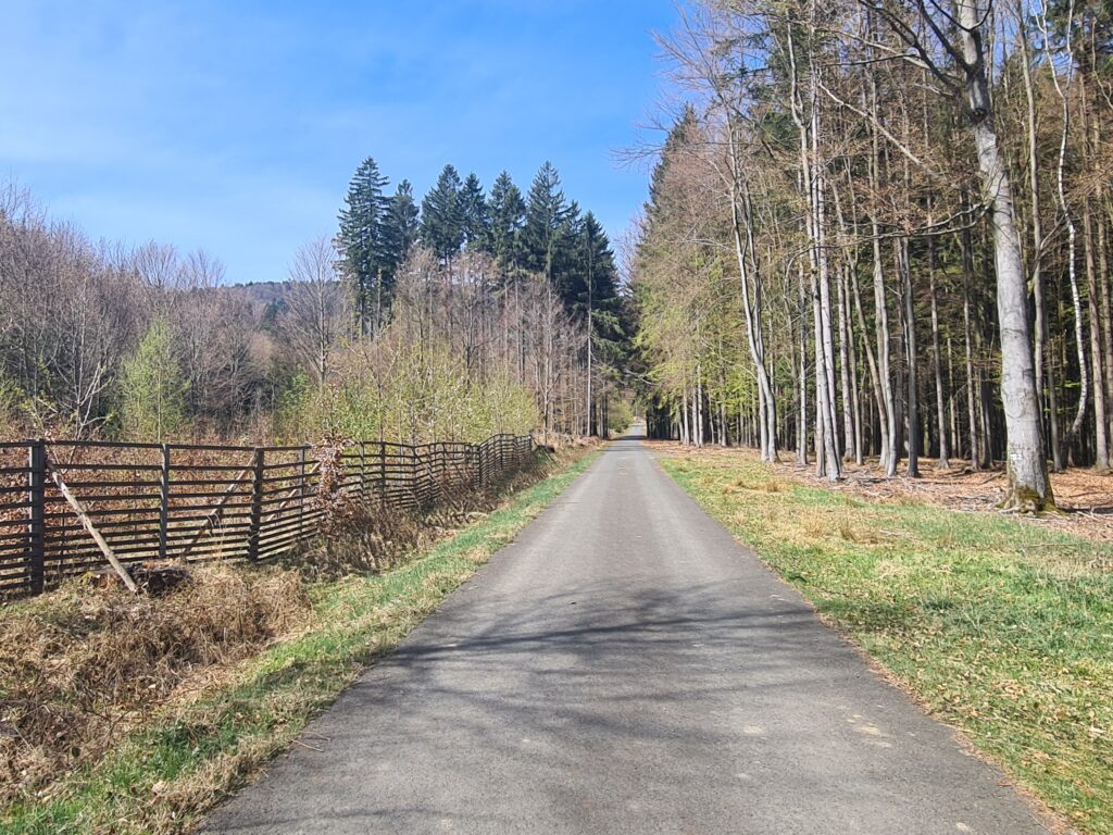
To speed up and save energy, we then include a long 12km section along district roads to village Labuť, after which you will connect to a very comfortable forest asphalt road to town Přimda.
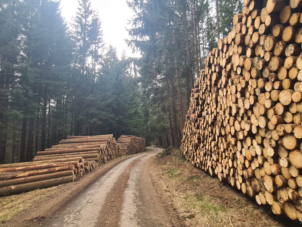
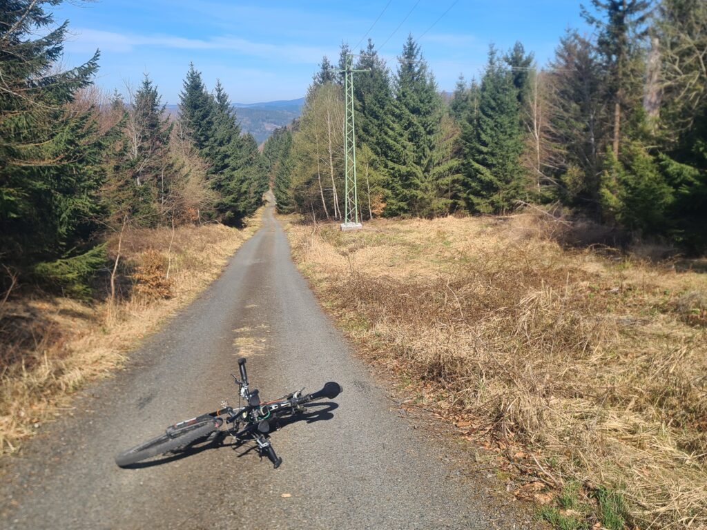
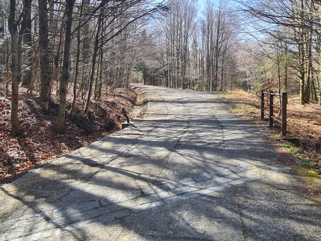
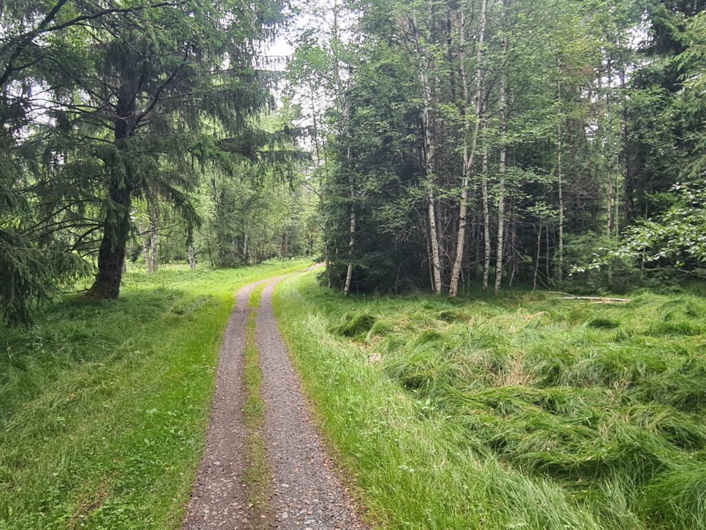
After it, you will enter a gravel section in the dense forests of Český les range,
… where the views on the Dianahof hunting lodge will be the most pleasant.
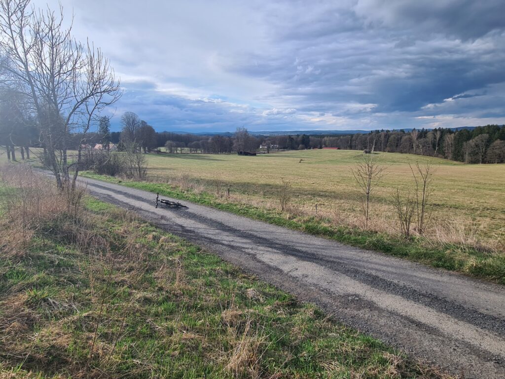
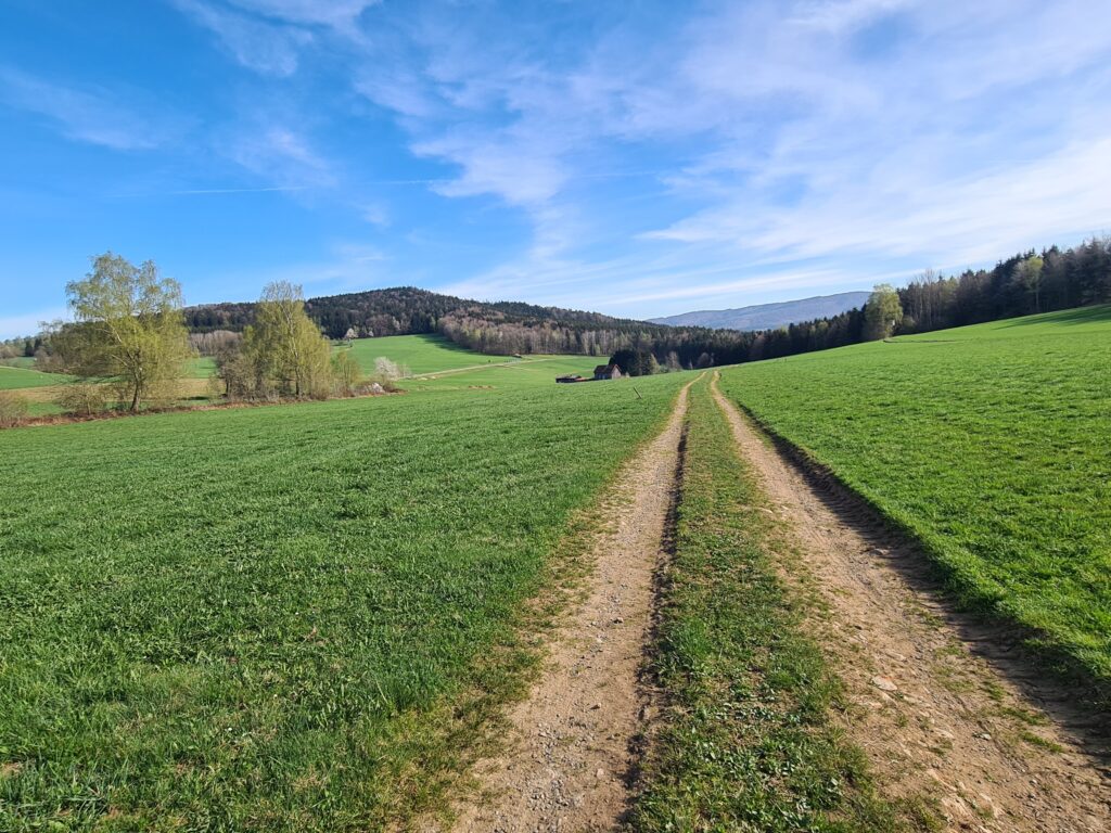
Whenever the long plains in Český Les start to make you a little boring, you will emerge on one of the many pastures, where you will enjoy the nice views again, for at least a moment.
But before that, look forward to passing through the extinct settlement of Lučina..
… and especially to short detour to Germany, where we found a great gravel roads above village Höll.
But after Lísková, it will really bite hard. After three steep switchbacks, which will probably force part of starting field to get off their bikes, you will connect to a 3km plain with a gradient of over 10%, which will lift you up to below Čerchov.
Just when you think the worst is over, they will put you up a cruel pannel road in front of you.
Don’t miss 500m dead-end detour to highest peak of the Bohemian Forest, where you will be able to take a deep breath for a while.
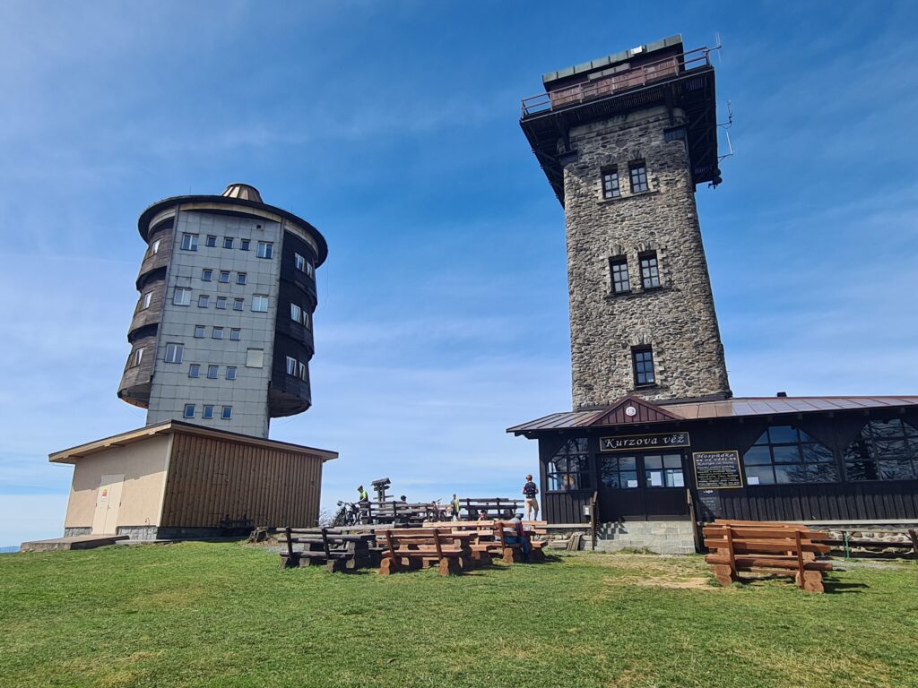
In addition to the views and stone Kurz Tower, your reward will be a gentle descent along a narrow, smooth asphalt road called Horizontála. You will really fly here, so be careful! After several hours in the forests, it is an interesting experience to suddenly emerge in Folmava at the border crossing, on the busy road 26, with lots of trucks, shops, gas stations, etc.
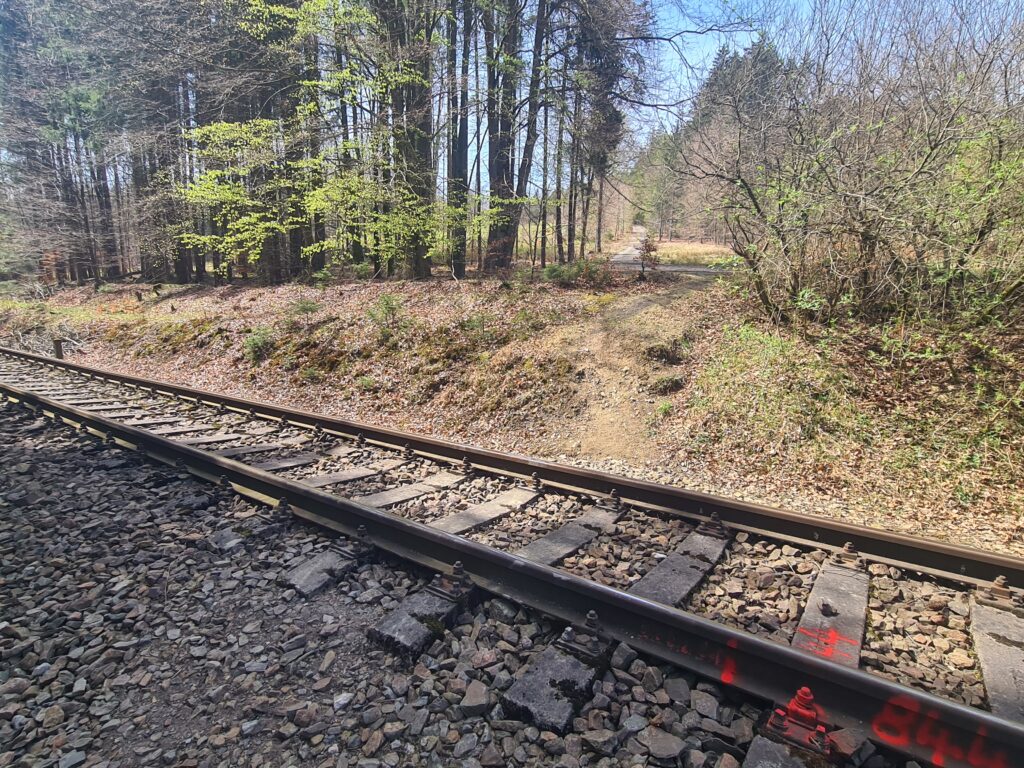
A small trap on the route will wait on you through a railway crossing and then a short downhill walk over stones, which will connect you back to a pleasant forest cycle path.
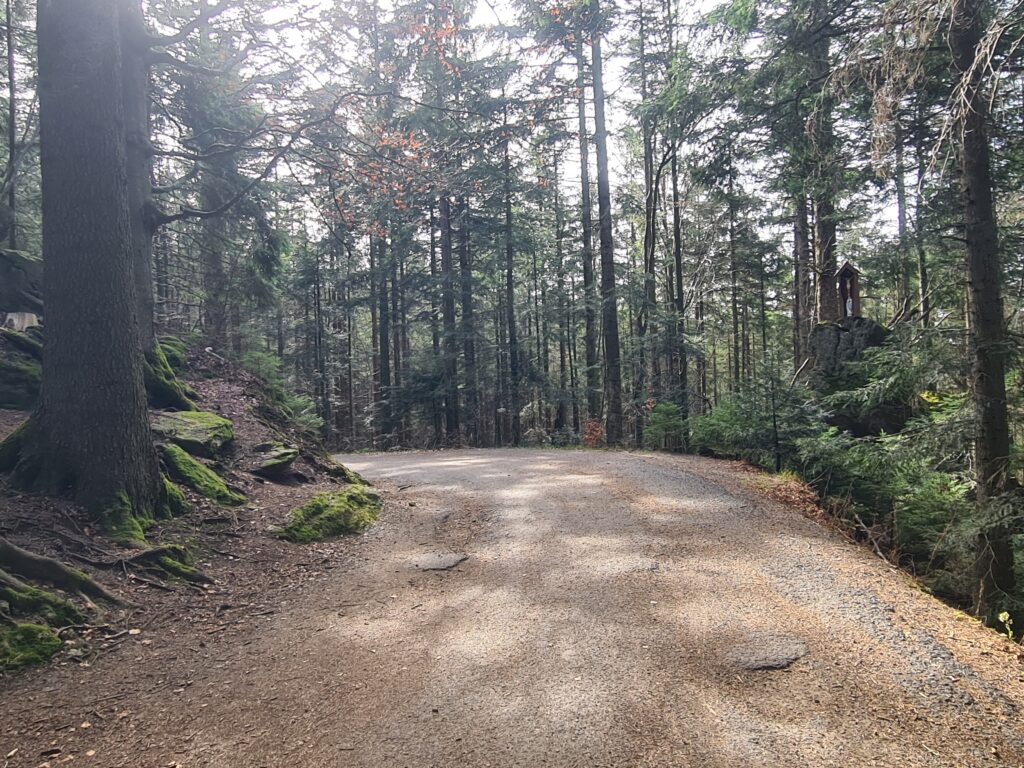
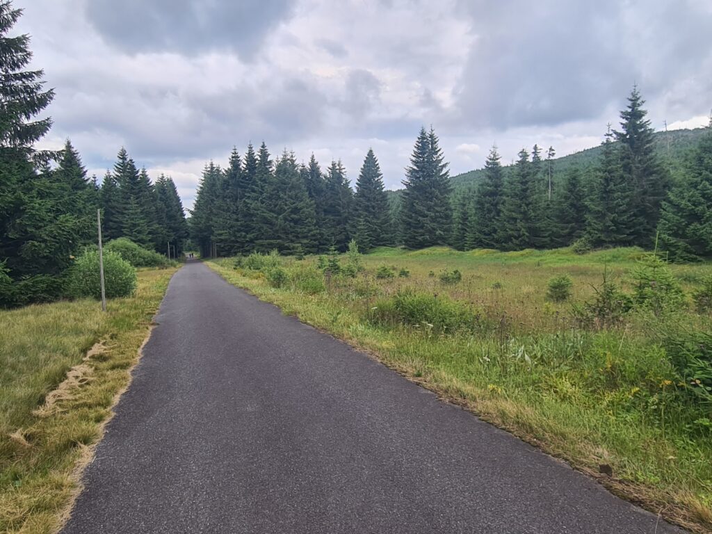
Another 10km in the forest along the blue mark behind the village of Všeruby.
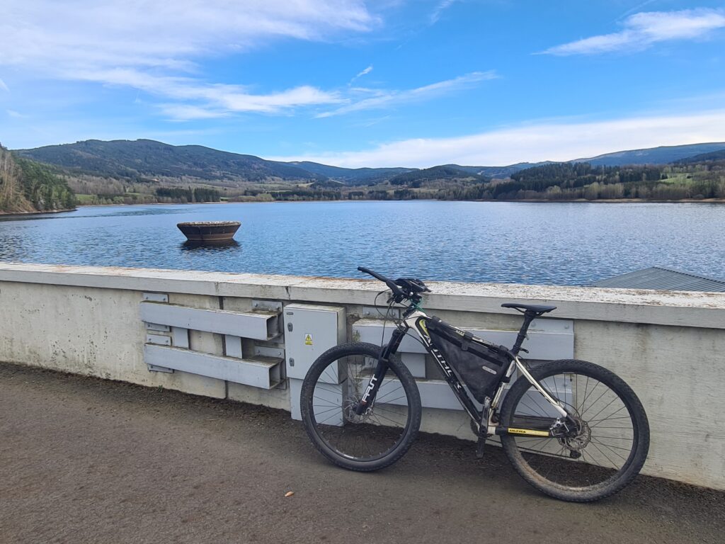
At 138 km, a pleasant change after long hours in the forest will be the crossing water dam Nýrsko, which serves as the entrance gate to Šumava National Park… Long climb to higher levels of Šumava will begin here.
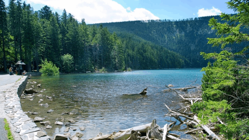
Black Lake – the largest lake in Czech Republic, will offer even more spectacular views.
From here down, be careful, as there may be a larger number of tourists on the trail to Špičák.
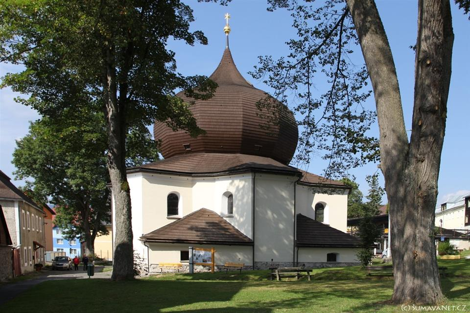
In Železná Ruda, we cannot miss passing by the local church of Our Lady of Help. You are already a short distance before the RestPoint 1, but many riders will probably take a break here or replenish their food, before next big hill..
The next 5 km will be pretty tough, you will climb 400 m in altitude to 1180 m saddle Pod Polomem.
Then you will fall down again to 800m in the vicinity of the extinct settlement Vysoké Lávky. You will definitely enjoy the last 3km of first section, on the vast plains and luxurious gravel road to Prášily..
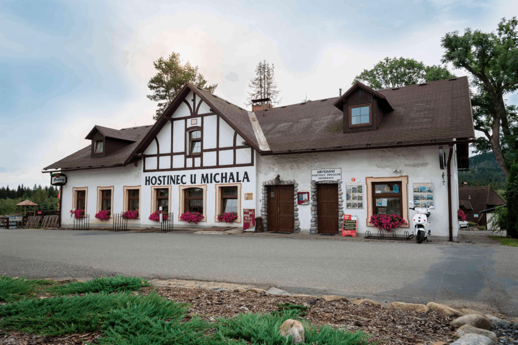
… where we arranged RestPoint 1 for you, in guesthouse U Michala.